ROSE VALLEY REGIONAL PARK IS CLOSED (pending assessments for safety and hazards)
ROSE VALLEY REGIONAL PARK | Hiking and Biking Trails
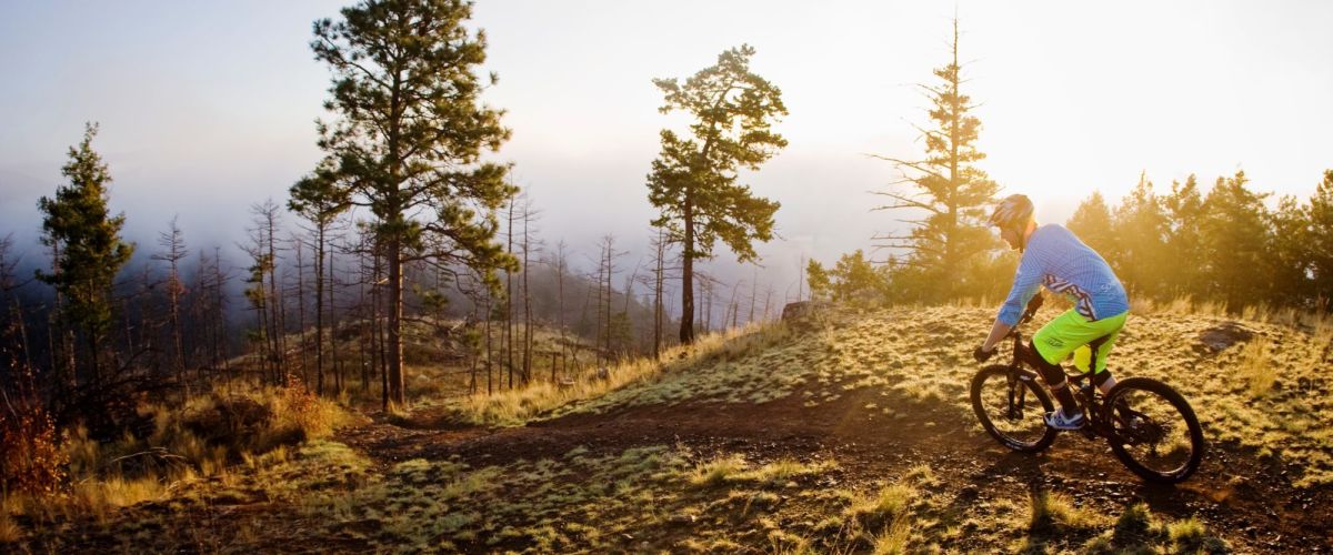
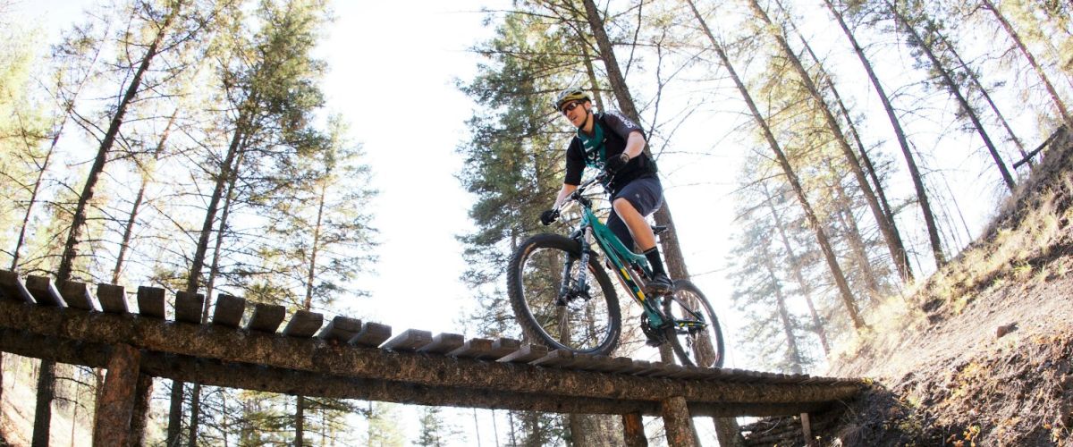
The Rose Valley Trail system is popular for hiking and biking.
Distance/Duration: 6 km (round trip)/2-4 hours
Elevation Gain: 80 metres
Difficulty Level: moderate...
Smith Creek Trails
Duration/Distance: 15 km (various routes) /1-4 hours
Elevation Gain: 400-700 metres (depending on route taken)
Difficulty Level: moderate
Access Points: From Hwy 97 follow Elliott Road to Smith Creek Road. Turn right onto Smith Creek and follow it up. The road...
POWERS CREEK MOUNTAIN BIKE TRAILS
Duration/Distance: various routes; 2 to 8 km
Elevation Gain: up to 600 metres
Difficulty Level: difficult
Access Points: From Hwy 97 turn onto Glenrosa Road. This is the same road that heads out towards Crystal Mountain. You will pass...
Recent Comments