
BOUCHERIE RUSH TRAIL
Duration/Distance: 6 km round trip/1-3 hours
Elevation Gain: 275 metres
Difficulty Level: moderate to difficult
Access Points: From Hwy 97 turn South onto Bartley Rd. This road turns into East Boundary Rd. Follow the road approximately 1.5 km and you will see a small parking area on your left at 2775 East Boundary Rd. This is the trailhead area. Additional parking can be found at the ball diamonds of Darroch Park.
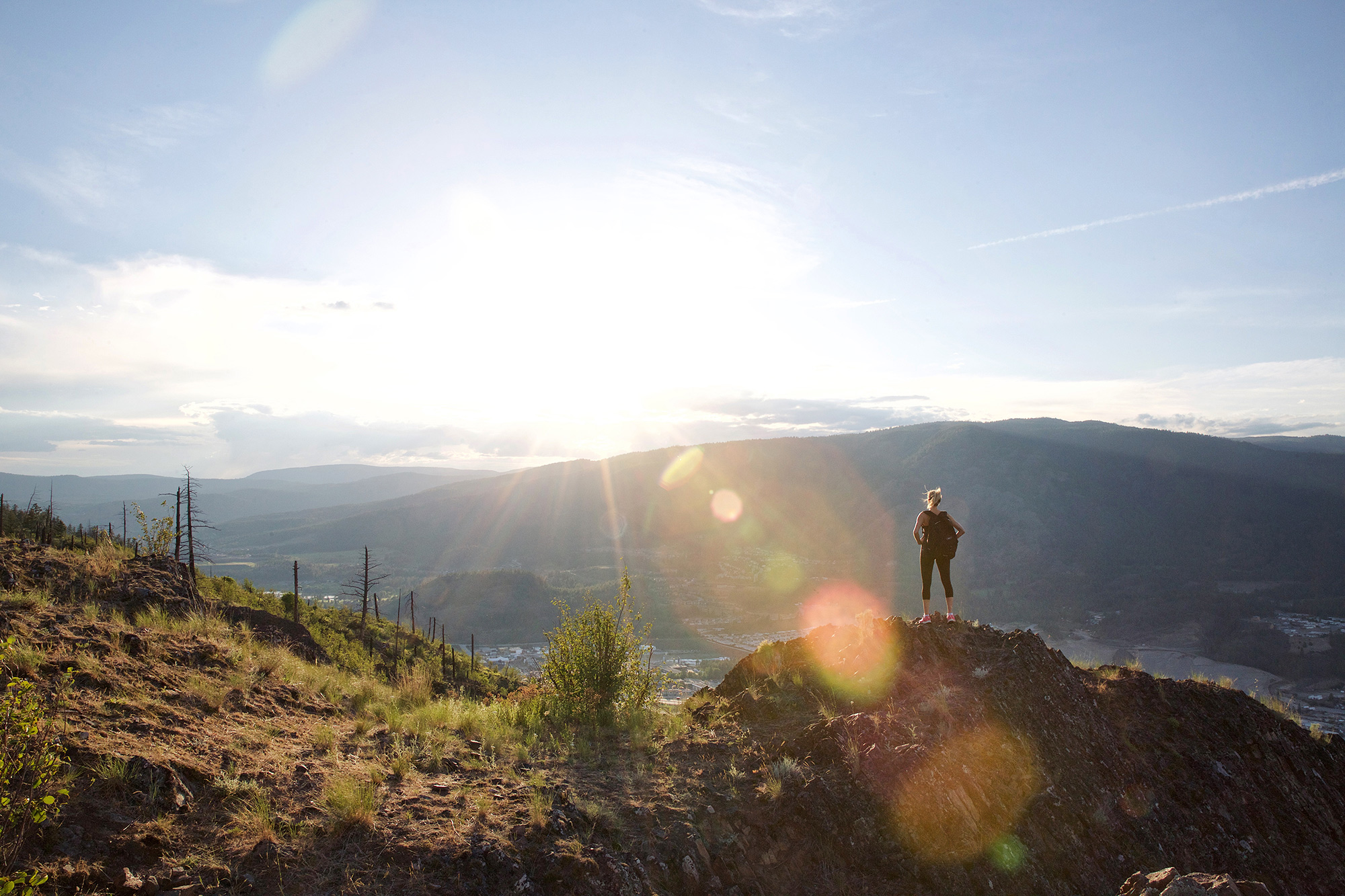
About this Trail: There are three trailheads from the parking lot. The Boucherie Rush Trail is the one that takes you to the top of Mt Boucherie. The views at the top are well worth the climb. This trail is well maintained, with switchbacks and wooden railings at the narrower and steeper sections of the trail.
This mountain is a focal point in the community and is actually an extinct volcano. The volcano is 50–60 million years old and it has slowly been eroding over time. The top elevation is 758 metres. You can spend as little as half an hour or a half a day exploring Mt. Boucherie. Parts of the trail are easy enough for the whole family to do, while other parts, such as the northeast face of the mountain should be reserved for more experienced hikers. Please be aware of the signs, as part of the mountain is on private property.
Unique rock formations and streams of ancient solidified lava rock can be seen while exploring the mountain. Another unique aspect of this trail is the Antelope Brush found growing there. Antelope Brush is a plant species that is indicative of the Sonoran Desert and Mt. Boucherie is one of the most northerly areas where this brush can be found.
Features: ancient volcanic lava flows, unique rock formations, Antelope Brush
GPS Recording of Boucherie Rush Trail from alltrails.com