Hiking & Biking Maps
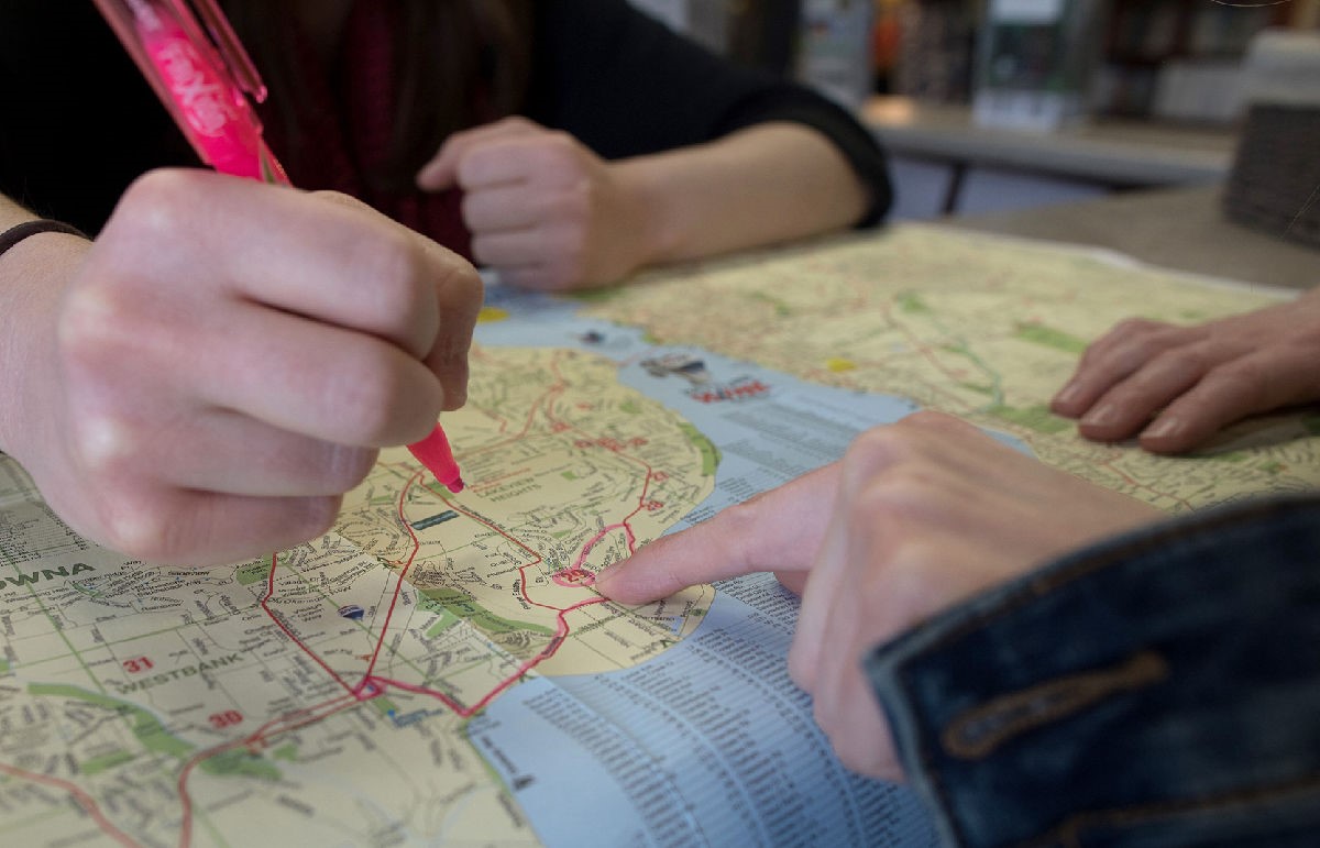
Many of these hiking and biking maps have been produced by the Regional District of the Central Okanagan. These are GPS-enabled maps that allow you to track where you are when on the trail. You can find out more information on this here.
GPS-Enabled Maps (click on the park name to download)
Gellatly Nut Farm Regional Park Map
Glen Canyon Regional Park Map (North and South)
Shannon Lake Regional Park Map
Rose Valley Regional Park Map (This park is partially open. Please respect all signage and trail closures within the park.)