TELEMARK TRAILS
Distance/Duration: various routes; 0.5 km – 15 km depending on trails chosen/1-6 hours
Elevation Gain: 0 – 200 m depending on trail
Difficulty Level: easy to difficult – depending on trail
GPS: 49.862117, -119.71033
Access Points: 9 km from Hwy 97 along Glenrosa Rd. The Telemark access location and parking area is signed.
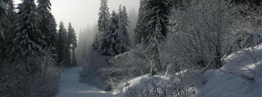
About this Trail: In the winter, Telemark is a popular area in the Okanagan to go cross-country skiing and snowshoeing. Rentals are available at the ski chalet. There are several different trails ranging anywhere in length up to 15 kms or more. The cross-country skiing trailhead map found there at the ski chalet should give you a point of reference. Please be aware that you are in the wilderness and may encounter many different types of wildlife.