Dog-Friendly Beaches and Parks in West Kelowna
Travelling with your four-legged friend this summer? Check out some of West Kelowna’s dog-friendly parks and trails! A majority of West Kelowna parks and trails allow dogs on-leash, while there are 3 off-leash dog...
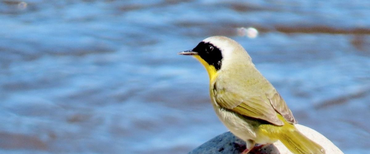
Bird Watching: How to get started.
(photo: Brad Vissia - Common Yellowthroat)
Have you ever wondered what that bird was that you saw out on a walk? If so, you are not alone. With people enjoying wide-open spaces and nature more this...
KALAMOIR REGIONAL PARK
(July 3, 2026 update - visitors can once again access the southern portion of the park via the main entrance at Collens Hill Road. This reopened area includes Sunnyside Trail as well as access to Bowser Beach, the...
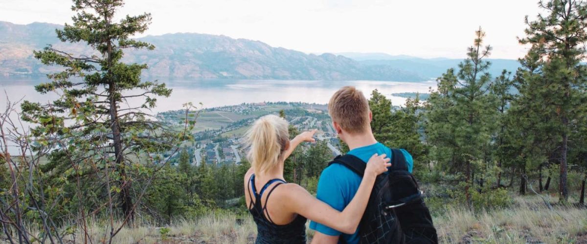
Mother’s Day 2026 moments to enjoy together in West Kelowna including hiking, wine tasting, brunch and other waterfront activities:
If Mother’s Day calls for more than flowers and a card, West Kelowna can certainly promise an experiential weekend of vineyards, artisanal...
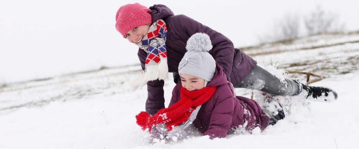
Let's Winter! Here are our picks for winter break activities in West Kelowna!
Winter fun is heating up for people of all ages in West Kelowna. Here, when the snowflakes begin to appear, the outdoor enthusiasts start to cheer! Our powered-filled...
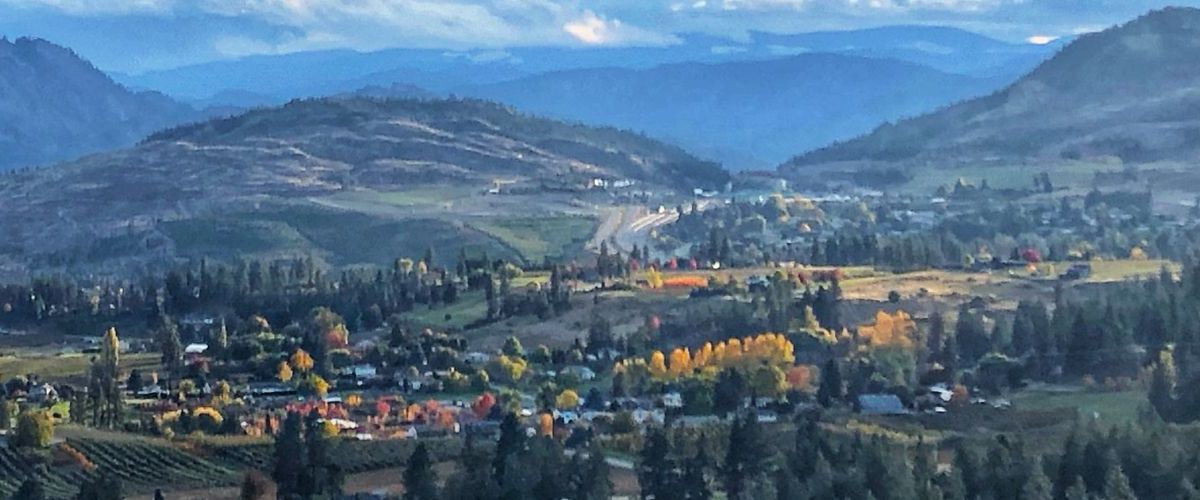
Fall Foliage in West Kelowna - a photo collection
Nature lovers can enjoy spectacular views this time of year with all the beautiful fall colours on display. Our Instagram feed has been blowing up with the fall foliage and we thought...
Spring Blossoms and Blooms!
Springtime in West Kelowna is just around the corner and that means our hillsides and orchards will be putting on a spectacular display of colour. In March our first wildflowers begin to show, but April is the...
With physical distancing happening, more and more people are turning to Zoom to conduct their meetings. Did you know that in Zoom you can add a custom background to your video conferences?
Changing your background is perfect for those who don’t want...
Looking at or listening to the sounds of nature can create a sense of calm and make one feel relaxed. We are digging into our library to create some looped nature videos for you that focus on the sights and...
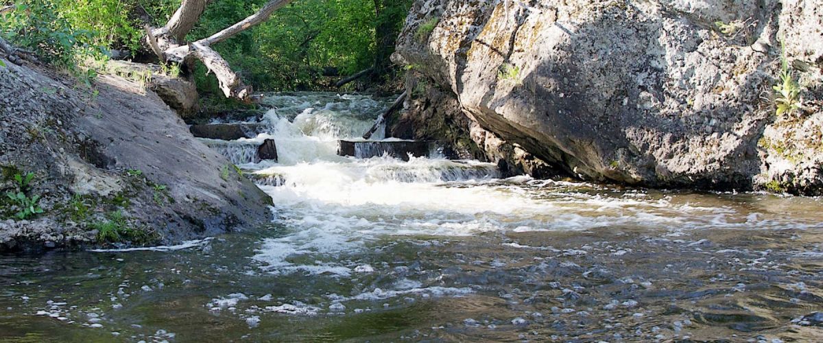
BOUCHERIE RUSH TRAIL - West Kelowna Hiking
Duration/Distance: 6 km round trip/1-3 hours
Elevation Gain: 275 metres
Difficulty Level: moderate to difficult
Access Points: From Hwy 97 turn South onto Bartley Rd. This road turns into East Boundary Rd. Follow the road approximately 1.5 km...


Recent Comments