KALAMOIR REGIONAL PARK
(July 3, 2026 update - visitors can once again access the southern portion of the park via the main entrance at Collens Hill Road. This reopened area includes Sunnyside Trail as well as access to Bowser Beach, the...
ROSE VALLEY REGIONAL PARK IS CLOSED (pending assessments for safety and hazards)
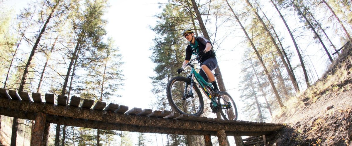
ROSE VALLEY REGIONAL PARK | Hiking and Biking Trails
The Rose Valley Trail system is popular for hiking and biking.
Distance/Duration: 6 km (round trip)/2-4 hours
Elevation Gain: 80 metres
Difficulty Level: moderate...
5 things to do this long weekend.
The mornings are crisp and the afternoons warm, coming up is the first long weekend since the kids went back to school. This weekend is a busy weekend as students return home from university...
Smith Creek Trails
Duration/Distance: 15 km (various routes) /1-4 hours
Elevation Gain: 400-700 metres (depending on route taken)
Difficulty Level: moderate
Access Points: From Hwy 97 follow Elliott Road to Smith Creek Road. Turn right onto Smith Creek and follow it up. The road...
TELEMARK TRAILS
Distance/Duration: various routes; 0.5 km – 15 km depending on trails chosen/1-6 hours
Elevation Gain: 0 – 200 m depending on trail
Difficulty Level: easy to difficult – depending on trail
GPS: 49.862117, -119.71033
Access Points: 9 km from Hwy 97 along Glenrosa...
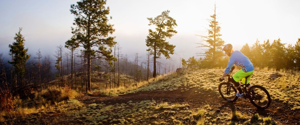
SMITH CREEK GRUEL - MOUNTAIN BIKE TRAIL - WEST KELOWNA
Duration/Distance: 15 km (various routes) /1-4 hours
Elevation Gain: 400-700 metres (depending on route taken)
Difficulty Level: moderate
GPS: 49.856237, -119.662584
Access Points: From Hwy 97 follow Elliott Road to Smith Creek Road. Turn right...
MCDOUGALL RIM TRAIL /HAYMAN LAKE
Distance/ Duration: 9 km round trip/4-6 hours
Elevation Gain: 700 metres
Difficulty Level: difficult
GPS: 49.884910, -119.587735
Access Points: From Hwy 97, turn onto Bartley Road and then left on Shannon Lake Road. On your right hand side a sign...
Recent Comments