Let's Winter! Here are our picks for winter break activities in West Kelowna!
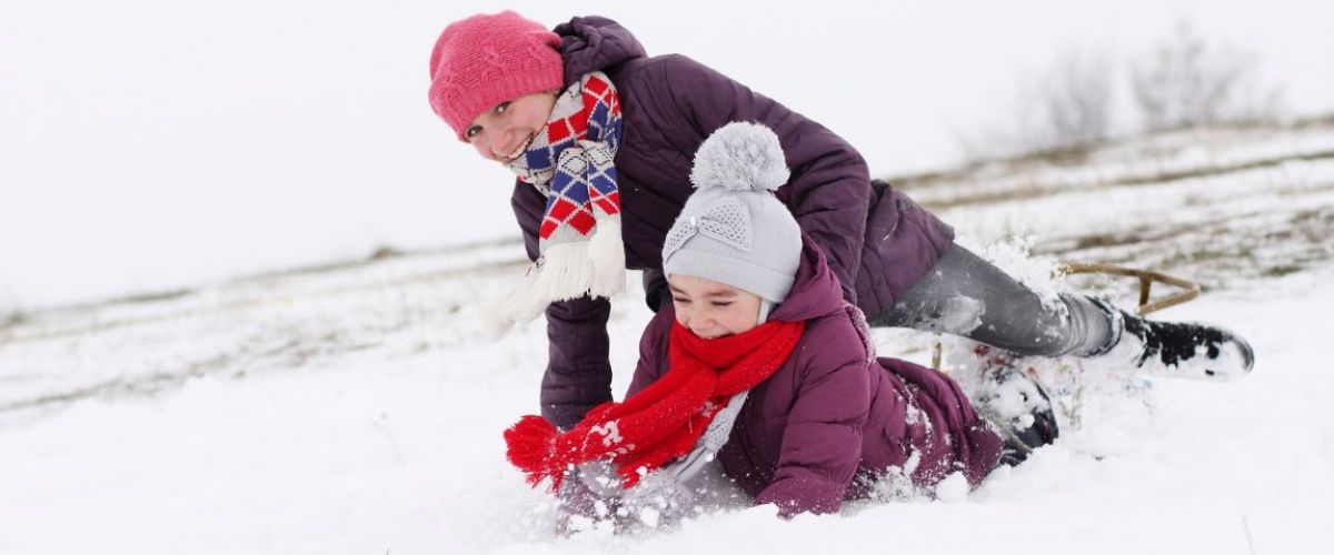
Winter fun is heating up for people of all ages in West Kelowna. Here, when the snowflakes begin to appear, the outdoor enthusiasts start to cheer! Our powered-filled...
Here are some great options for spring break adventures in West Kelowna. Whether you're looking for outdoor thrills, cultural experiences or relaxation, West Kelowna has a perfect mix of activities and experiences for a fun-filled spring break.
1. Learn about the...
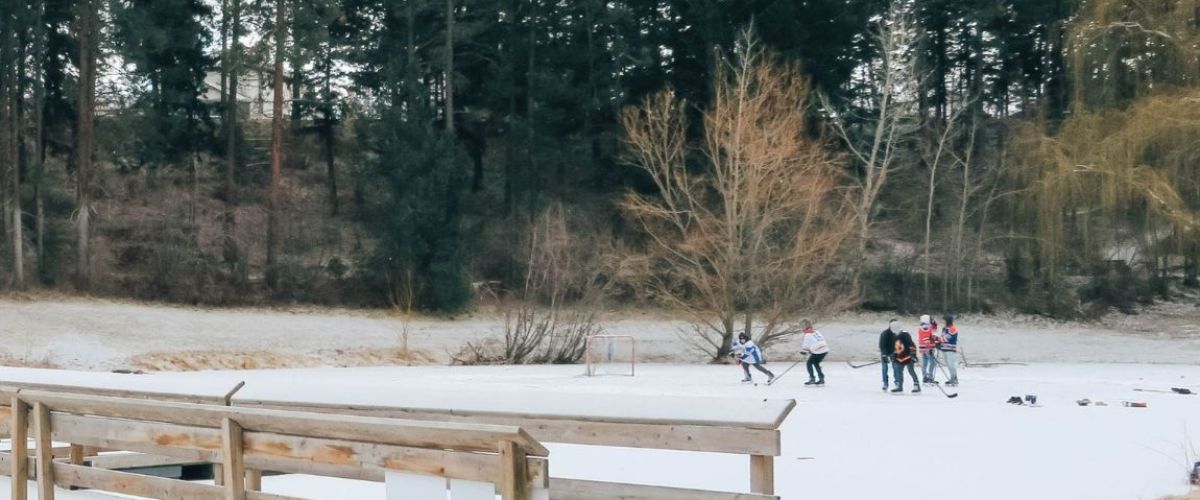
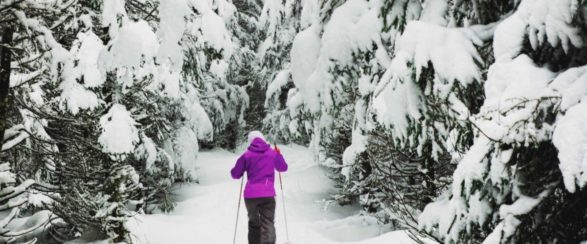
From action on the ice to the trails in the mountains, tons of fun can be found during the winter months in West Kelowna. The powder filled valleys and mountains beckon x-country skiers and snowshoers to come out and play,...
ROSE VALLEY REGIONAL PARK IS CLOSED (pending assessments for safety and hazards)
ROSE VALLEY REGIONAL PARK | Hiking and Biking Trails
The Rose Valley Trail system is popular for hiking and biking.
Distance/Duration: 6 km (round trip)/2-4 hours
Elevation Gain: 80 metres
Difficulty Level: moderate...
Farmers' Market in the heart of Westbank Centre in West Kelowna
The Westbank Farmer's Market may be small, but don’t let its size fool you! One can still get great farm fresh fruits and veggies, along with preserves, baking, and artisanal crafts...
[caption id="attachment_5172" align="aligncenter" width="1024"] photo: Westside Daze[/caption]
Westside Daze, West Kelowna's local fair!
The biggest event on the Westside is coming in a few weeks and the organizers of Westside Daze promise that it will be loaded with entertainment for all ages....
Cross country skiing is a great way to spend the afternoon burning off some of that pent up winter energy and it’s an activity that all ages can enjoy. Families with grandparents and grandchildren can often been seen out on...
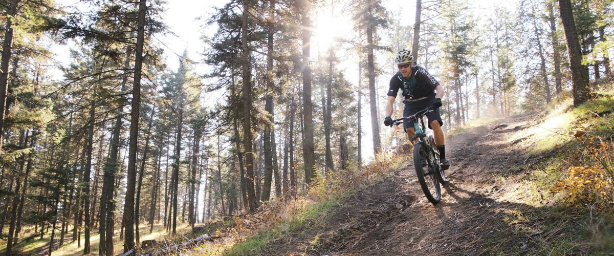
SMITH CREEK GRUEL - MOUNTAIN BIKE TRAIL - WEST KELOWNA
Duration/Distance: 15 km (various routes) /1-4 hours
Elevation Gain: 400-700 metres (depending on route taken)
Difficulty Level: moderate
GPS: 49.856237, -119.662584
Access Points: From Hwy 97 follow Elliott Road to Smith Creek Road. Turn right...
MCDOUGALL RIM TRAIL /HAYMAN LAKE
Distance/ Duration: 9 km round trip/4-6 hours
Elevation Gain: 700 metres
Difficulty Level: difficult
GPS: 49.884910, -119.587735
Access Points: From Hwy 97, turn onto Bartley Road and then left on Shannon Lake Road. On your right hand side a sign...
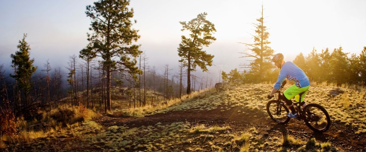
The trails in this area are looped and offer some beginner trails in the lower elevations with more challenging ones higher up. It is a great area to ride as there are flat cross country trails, single track trails along...

Recent Comments