FINTRY PROVINCIAL PARK - WEST KELOWNA
Distance/Duration: Various routes, Shorts Creek Gorge Trail 2-3 km/1-2 hours
Elevation Gain: 40 metres
Difficulty Level: easy to difficult (400 stairs)
GPS: 50.140402, -119.501435
Access Points: Fintry Delta Road, off Westside Road, approximately 34 km north of the junction...
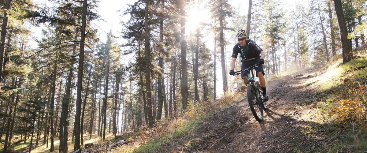
SMITH CREEK GRUEL - MOUNTAIN BIKE TRAIL - WEST KELOWNA
Duration/Distance: 15 km (various routes) /1-4 hours
Elevation Gain: 400-700 metres (depending on route taken)
Difficulty Level: moderate
GPS: 49.856237, -119.662584
Access Points: From Hwy 97 follow Elliott Road to Smith Creek Road. Turn right...
MCDOUGALL RIM TRAIL /HAYMAN LAKE
Distance/ Duration: 9 km round trip/4-6 hours
Elevation Gain: 700 metres
Difficulty Level: difficult
GPS: 49.884910, -119.587735
Access Points: From Hwy 97, turn onto Bartley Road and then left on Shannon Lake Road. On your right hand side a sign...
KALAMOIR REGIONAL PARK
Distance/Duration: 1-3 km loops/1-2 hrs
Elevation Gain: 200 metres
Difficulty Level: moderate/difficult (hillside trails)
GPS: 49.851286, -119.544526
Kalamoir Regional Park Map
Access Points: There are four different access points, depending on the trail you would like to take. To hike along the lakeshore,...
The trails in this area are looped and offer some beginner trails in the lower elevations with more challenging ones higher up. It is a great area to ride as there are flat cross country trails, single track trails along...
Now that the snow has disappeared, for those with a little ‘spring fever’, we have some suggestions for you to participate in over this spring break. The top five things to do in West Kelowna on Spring break include:
Stopping...
Recent Comments