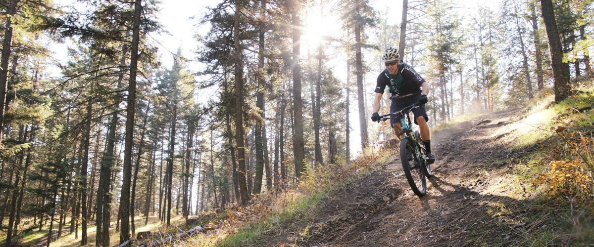
SMITH CREEK GRUEL - MOUNTAIN BIKE TRAIL - WEST KELOWNA
Duration/Distance: 15 km (various routes) /1-4 hours
Elevation Gain: 400-700 metres (depending on route taken)
Difficulty Level: moderate
GPS: 49.856237, -119.662584
Access Points: From Hwy 97 follow Elliott Road to Smith Creek Road. Turn right...
MCDOUGALL RIM TRAIL /HAYMAN LAKE
Distance/ Duration: 9 km round trip/4-6 hours
Elevation Gain: 700 metres
Difficulty Level: difficult
GPS: 49.884910, -119.587735
Access Points: From Hwy 97, turn onto Bartley Road and then left on Shannon Lake Road. On your right hand side a sign...
KALAMOIR REGIONAL PARK
Distance/Duration: 1-3 km loops/1-2 hrs
Elevation Gain: 200 metres
Difficulty Level: moderate/difficult (hillside trails)
GPS: 49.851286, -119.544526
Kalamoir Regional Park Map
Access Points: There are four different access points, depending on the trail you would like to take. To hike along the lakeshore,...
Recent Comments