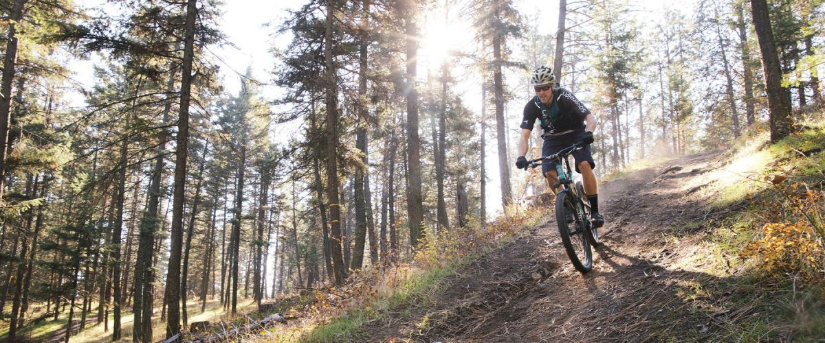
SMITH CREEK GRUEL - MOUNTAIN BIKE TRAIL - WEST KELOWNA
Duration/Distance: 15 km (various routes) /1-4 hours
Elevation Gain: 400-700 metres (depending on route taken)
Difficulty Level: moderate
GPS: 49.856237, -119.662584
Access Points: From Hwy 97 follow Elliott Road to Smith Creek Road. Turn right...
MCDOUGALL RIM TRAIL /HAYMAN LAKE
Distance/ Duration: 9 km round trip/4-6 hours
Elevation Gain: 700 metres
Difficulty Level: difficult
GPS: 49.884910, -119.587735
Access Points: From Hwy 97, turn onto Bartley Road and then left on Shannon Lake Road. On your right hand side a sign...
The trails in this area are looped and offer some beginner trails in the lower elevations with more challenging ones higher up. It is a great area to ride as there are flat cross country trails, single track trails along...
West Kelowna is home to Mt Boucherie, a dormant volcano that erupted over 50 million years ago. Because of this, there are several areas around the community that budding geologists can hope to see some volcanic explorations.
Mt Boucherie is the...
Recent Comments